Click to see Full Size Map
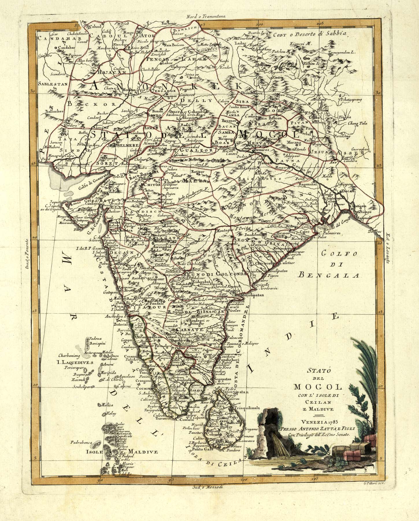
| Description | Map of India, Ceylon, and the Maldives |
| Back | Blank |
| Cartographer | Antonio Zatta (Flourished 1757-1797) |
| Publisher | |
| Language | Italian |
| Publication Place | Venice |
| Publication Date | 1785 |
| Map Dimensions | 16 x 12.5 inches |
| Color | Hand Colored |
| Source | Zatta's Atlante Novissimo |
Antonio Zatta was a prominent Italian editor, cartographer, and publisher. He lived in Venice and his work flourished between 1757 and 1797. He is best known for his atlas, Atlante Novissimo (1779-1785), a monumental 4 volume work and one of the last great decorative atlases. He had a prolific output of prints and books that were both precisely made and aesthetically pleasing. Zatta had a large network from which to draw information; and was able to publish the first glimpse of the islands visited by Captain Cook in the Atlante Novissimo.
100 dpi Digital scans of 17th-19th Century Maps with Ceylon in the Collection of
Mr Percival Upajiva Ratnatunga (1911-2003), Survey General of Ceylon 1967-68.
The original Maps were purchased by him in Post World War II, London