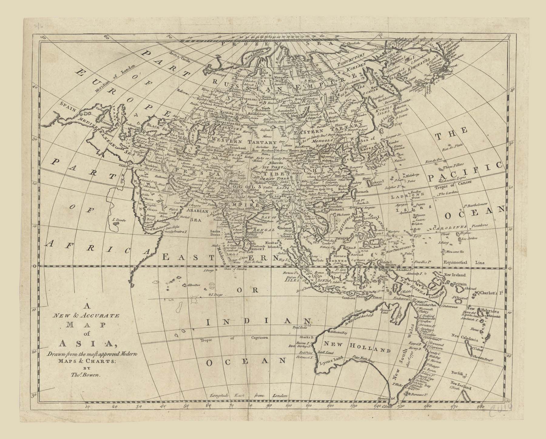
Click to see Full Size Map
| Description | Map of Asia and down to Australia |
| Back | Blank |
| Cartographer | Thomas Bowen |
| Publisher | J. Cooke |
| Language | English |
| Publication Place | London |
| Publication Date | 1779 |
| Map Dimensions | 16 x 12.5 inches |
| Color | UnColored |
| Source | Charles Theodore Middleton's Geography |
Shows a still largely speculative Southern Australian coastline.
100 dpi Digital scans of 17th-19th Century Maps with Ceylon in the Collection of
Mr Percival Upajiva Ratnatunga (1911-2003), Survey General of Ceylon 1967-68.
The original Maps were purchased by him in Post World War II, London