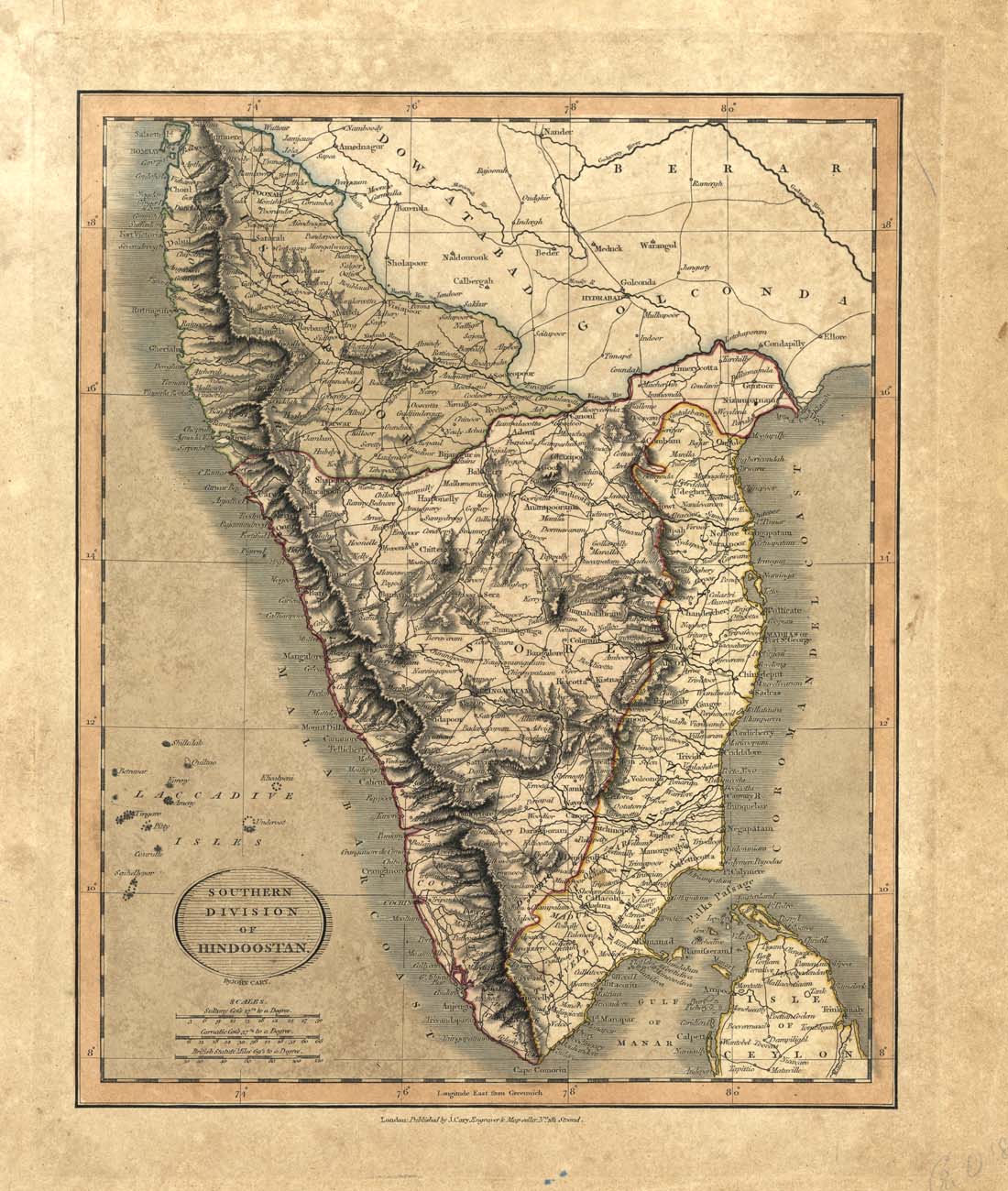
Click to see Full Size Map
| Description | Southern Division of Hindoostan |
| Back | Blank |
| Cartographer | John Cary |
| Publisher | |
| Language | English |
| Publication Place | London |
| Publication Date | 1816 |
| Map Dimensions | 9 x 11 inches |
| Color | Hand Colored |
| Source | Cary's New Universal Atlas |
100 dpi Digital scans of 17th-19th Century Maps with Ceylon in the Collection of
Mr Percival Upajiva Ratnatunga (1911-2003), Survey General of Ceylon 1967-68.
The original Maps were purchased by him in Post World War II, London